Blackwood Classic 250
The Race
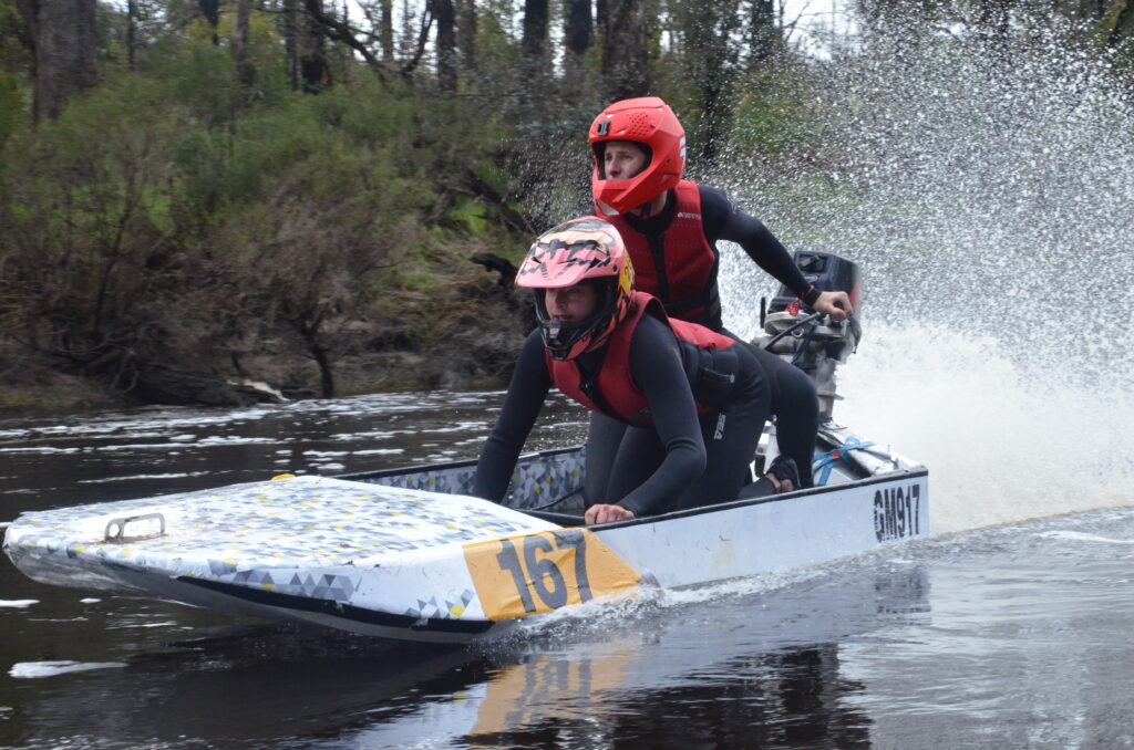
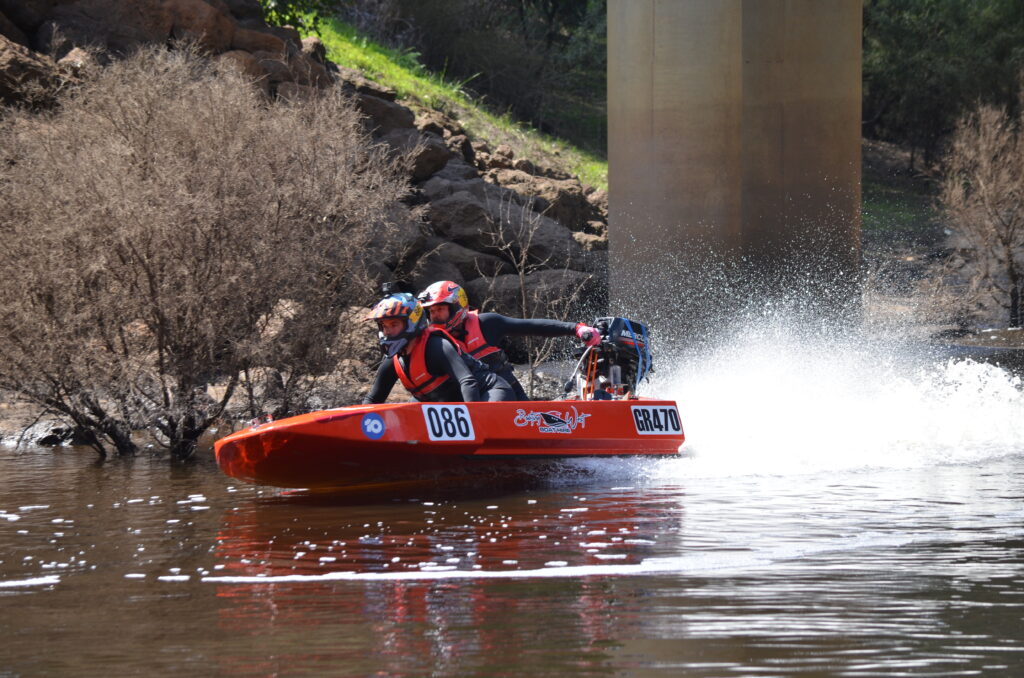
The Blackwood classic is the worlds longest power dinghy race and its history is both long and colourful.
Traditionally held on the Queens (now Kings’s) Birthday weekend, the race is a three day time trial on the Blackwood River in the South West of Western Australia.
The course takes in some of the most breathtaking scenery in that part of the state. Commencing in Bridgetown, the race passes through Nannup and Sue’s Bridge and ends at the mouth of the Blackwood River in Augusta, a total distance of 250 kilometres
The Blackwood Classic was the brainchild of Ted and Norma Whitney. Their dream was to stage an event similar to the Avon Descent, but on the Blackwood River, which had been a part of their families’ lives for three generations.
After two years of test runs the first Blackwood race was held in 1976 when thirty-three crews attempted the gruelling three day event. The Whitney’s went on to organise ten races from their base in Perth.
The event is now wholly organised by the Power Dinghy Racing Club.

The Course
DAY 1 – Bridgetown – Nannup
92 Kilometres
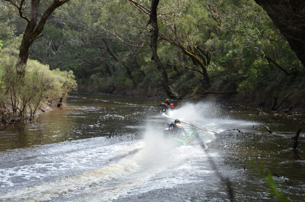
Less than 500 meters from the start the obstacle course begins with the first rapids. A large proportion of mechanical breakdowns, swamping, broken shafts and eventual withdrawals occur before checkpoint 1 as competitors who underestimate the river find the error of their ways. Many a campaign has failed before it even got going.
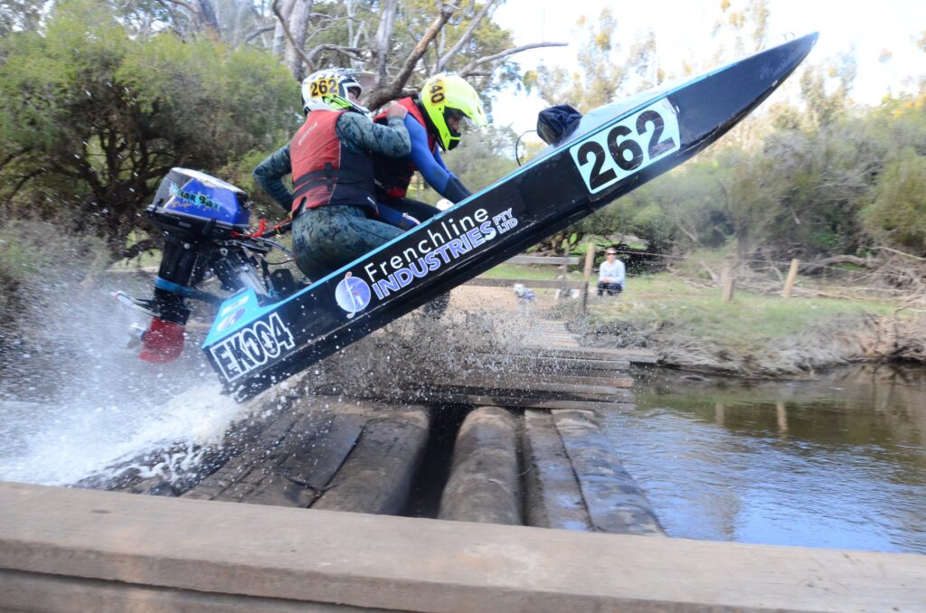
Throughout the remainder of Day 1, there are further rapids and broken bridges as the river winds through pine plantations, native forests and farm land.
Other hazards include logs both above and below the water line – as well as submerged rocks which lurk in the most unpredictable locations.
During the day the going get progressively easier. A two kilometre stretch of dense ti trees near Dudinalup gives way to a clear run to Nannup. Revelry Bridge, which may be submerged, is the last remaining obstacle competitors will encounter before the finish at Nannup.
DAY 2 – Nannup – Sues Bridge
92 Kilometres
This part of the race is considerably easier than day 1. Ti-trees become less frequent as progress is made downstream. Fallen trees, submerged rocks and broken bridges are the main hazards.
Day 2 is characterised by long pools allowing good time to be made. This gives the leaders a chance to increase their margin or the less fortunate to make up some time.
Care should be taken by competitors as most of day 2 is through state forest inaccessible to land support crews. The overnight stop is at Sue’s bridge.
DAY 3 – Sues Bridge – Augusta
66 Kilometres
Day 3 is an all out speed trial. Rapids extend intermittently for 25 kilometres from Sues Bridge to Schroeders Weir where the Great North Road crosses the river. Depending on the water level, less experienced competitors may find it necessary to portage this ford. In high water the weir becomes submerged and the only hazards are the metal posts marking the causeway.
Below the Weir the country changes from hilly bush land to coastal plain.
Competitors will be directed to the south east (left) around Molloy Island. Known as hardy Inlet, this section of the river is shallow and contains more obstacles to trap the unwary.
The river widens dramatically past Molloy Island. Competitors must battle strong winds and choppy water right to the finish line of the worlds longest power dinghy race.
Practice Day
There is no practice allowed on the Blackwood River for this event. The water at our club rooms in Burswood will be made available the weekend prior to the race to allow testing. Please check the calendar [here] for dates and timings.
Minimum Requirements to Race in the Blackwood Classic 250
A power dinghy competitor must be a member of the PDRC
A driver must be 17 years of age or older.
A deckie may race in the year they turn 16 years of age.
Members who have not previously competed in the Blackwood Classic 250 and wish to enter shall be required to compete in the following:
a) Compete in 1 (one) PDRC River Race.
b) The Management Committee reserves the right to refuse entry, in the Blackwood Classic 250, to a crew they determine is not of sufficient proficiency to safely enter the event.
River Levels
The water level for the race is dependent on the amount of rain received in the catchment area leading up to the event. You can check the current level at the Nannup Caravan Park [here]. In general, a water level below 1.0m is considered low, while a level below 0.5m is considered particularly low. Water levels at Bridgetown can be monitored [here] or [here].
Monitoring the water level is essential for participants to assess the conditions and prepare accordingly for the race.
Accomodation
Since the Nannup Caravan Park is the finish for day 1 and the start of day 2, many competitors opt to stay there for convenience and it’s central location. You can make bookings for accommodation at the caravan park through their website [here]. Another viable option is the Nannup Hotel, conveniently located within walking distance from the caravan park. Bookings for the hotel can be made directly on (08) 9756 1080.
Numerous other options are available from Bridgetown through to Augusta if you prefer.
Competitors and Support Crew
The provided Google Map below displays the start and finish line for each day, along with all the checkpoints situated along the course. It is indeed a good idea to save the Google Map of the race route in offline mode. This allows support crews to access and navigate the map even in areas with no mobile service, ensuring they have the necessary guidance throughout the race.
To assist support crews, a support crew guide is available and can be accessed [here]. It is highly recommended that racers and support crews allocate time to familiarize themselves with the course and checkpoints. Creating a well-defined plan, including determining specific locations for the support crew to be stationed along the course, is essential for a successful race day.
The four wheel drive club will be running communications for the race and are stationed at each checkpoint. It’s a good idea to check with them on arrival at a checkpoint incase your craft has already passed. If you are in any doubt about the location of your craft, please see one of the officials for assistance.
A tip to help support crews track their team during the race. As mobile phones are required to be carried in the boat, share your mobile location through the Find My app on your iPhone with your support crew. The app uses gps location through satellite – you can pick up the location where ever the boat is so long as your support crew has reception.
Keep in mind that the course is subject to change based on water conditions, and any updates or new information will be communicated through our official Facebook page. Participants should stay connected and regularly check for announcements or changes to ensure they have the most up-to-date information


